Return to blog

A Little Thames History

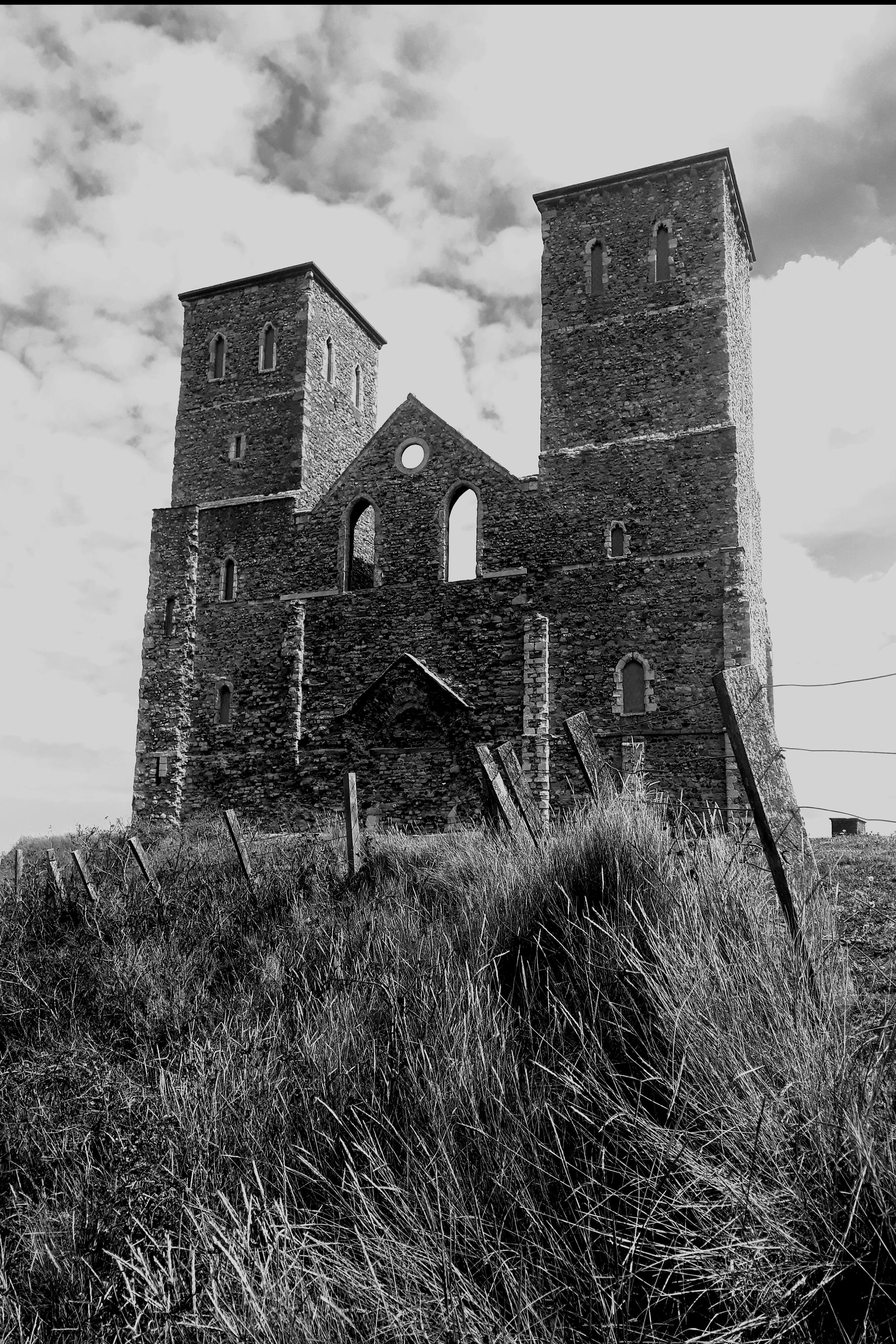
Londinium  was established along the river Thames by the Romans around 50AD, it later became a major trading and ship building area for the Saxons, Normans and Tudors. It wasn’t until the 16th century that it became the centre of shipbuilding and repair. In 1558 a commission was set up to select legal quays for imports and by 1576 London was the world’s first trading port.

Within two centuries London was unable to cope with the trade entering and Parliament authorised the building of two new docks and warehousing on the Isle of Dogs that opened in August 1802. Approval of more docks followed, which saw the East India Dock, Millwall Dock and the Royal Albert Docks.

Trade flourished but by the end of the 19th century improvement works was required and without a clear way forward a Royal Commission conducted a governing review. A report issued in June 1902 recommended creating a central body—the Port of London Authority—who begun duties on 31st March 1909, they have been obliged to provide quays, wharfs and warehousing since.

The Thames and London’s Docks suffered heavily during WWII, with bombs falling on the heavily targeted river from 1919 until late 1941. Almost 900 missiles, as well thousands of incendiary bombs fell on PLA property.

Post-war reconstruction was competed and in 1964 trade topped 61m tonnes but the introduction of container shipping had a drastic effect and subsequently the docks fell into economic decline.

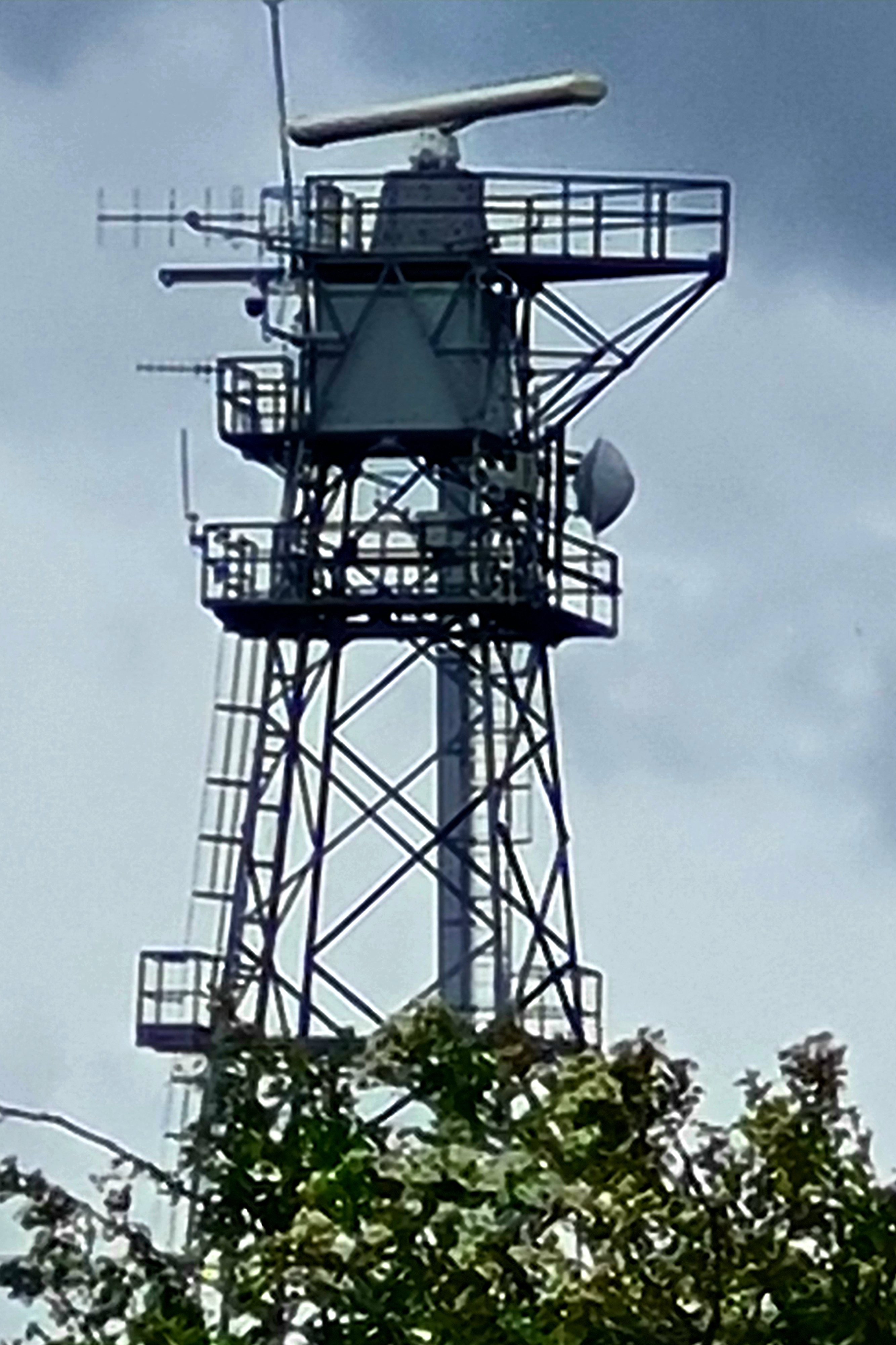
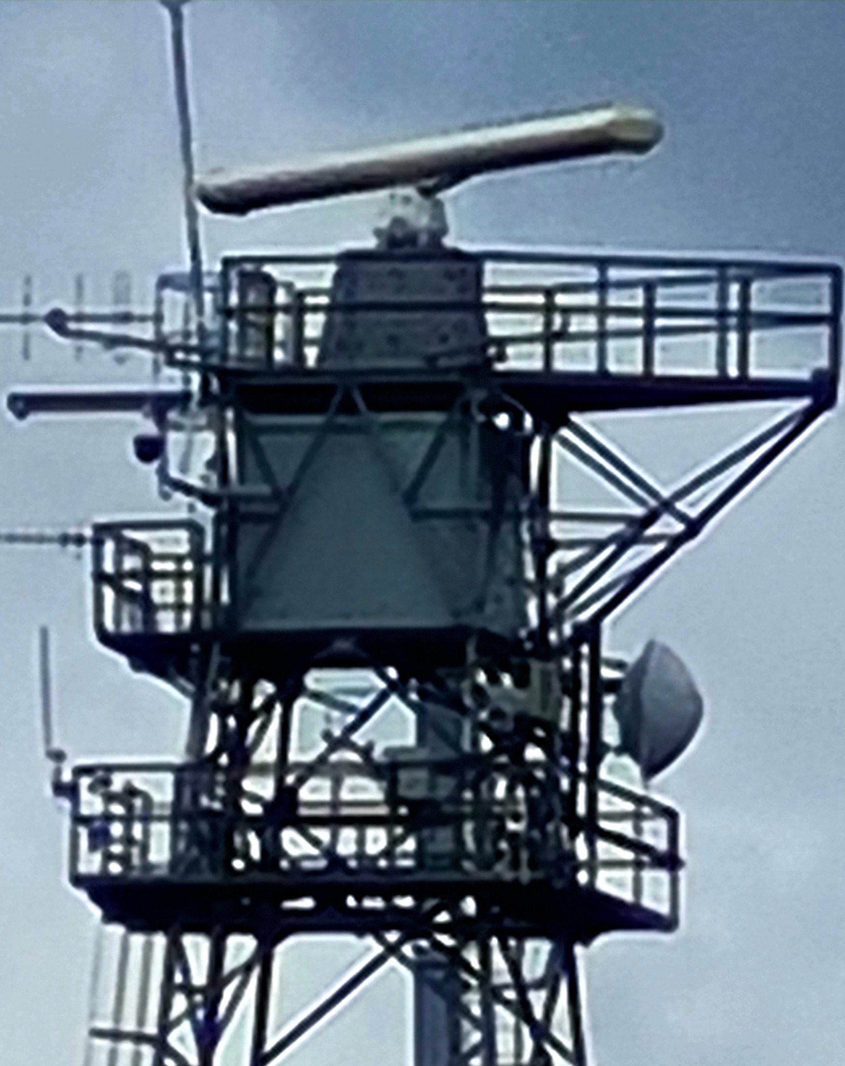
Today the PLA is responsible for maintaining river channels for navigation, moorings, lights and buoys and in providing a wide range of services for shipping including pilotage services.


PLAradar-Soul2InkBlogjpg


If you’ve ever wondered what this network of fifteen radars are about, they belong the PLA and oversee the river and estuary. They transmit microwave links to the PLA’s Vessel Traffic Centres at Gravesend and the Thames Barrier and provide a full picture of all shipping movements to and from the river and the outer estuary.

by Donna Siggers and David Last

When Romans Invaded Herne Bay

Reculver Towers and Roman Fort is mostly a ruin. Still, this site takes your breath away as you approach it. The dominant towers of the twelfth-century former monastic church stand out against the skyline and act as a navigational marker for shipping. Unfortunately, much of the site has been lost to coastal erosion but you can still gain a sense of how grand it must have been from what remains. 

  • Reculverjpg


Two thousand years ago the geographical layout of the area was hugely different—the Wantsum, a sea channel, cut off the Isle of Thanet from the mainland (this area has since silted up and is now dry land). The Roman Fort once stood on what was a peninsula at the north end of the channel where it joined the Thames estuary.

The Romans conquered England under Claudius in AD 43 thus their armies landed unopposed under Aulus Plautius. There has always been debate as to the location this occurred—Reculver and Richborough (at nearby Sandwich) are locations where fortifications of the Claudian period have been found: given these early findings its plausible the Wantsum channel could be the site where Romans first landed in England.


Reculver01jpg

It’s believed the Roman settlement was build during the 1st and 2nd centuries around a harbour and that the fort was erected during the 3rd century. Almost square, with rounded corners and measuring 180m x 175m it was built on Saxon Shore against Saxon raids.

The religious aspect of the site wasn’t erected until the 5th century, by which time the Romans had abandoned it. The Anglo-Saxon monastery was founded in 669 which made good use of the existing fortifications. The monastery was in use for five centuries.

Another wonderful visit that has prompted a little research into England’s heritage and flared our imagination as to what life might have been like living in a place like this centuries ago.

by Donna Siggers and David Last